TEPCO
"Geospatial view of damage information"
Hideaki Miyamoto, Manager - System Management Group
Die IQGeo Platform zeichnet sich durch ihre hohe Interoperabilität aus, die eine Datenintegration von praktisch jeder Anwendung und jeder Quelle ermöglicht, die einen Raumbezug haben. Dazu gehören Einbindungen in unternehmensweite Geoinformations- bzw. Netzinformationssysteme wie ArcGIS, Smallworld und andere.
Zugriff auf Massendaten
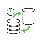
Geplante Synchronisierungsprozesse
Automatische Datenmodellreplikation
Die ETLs von IQGeo (Extrahieren, Transformieren und Laden) für Geo- und Netzinformationssysteme bieten eine Reihe von Tools für die Veröffentlichung von GIS-Daten von Drittanbietern direkt in der Datenbank der IQGeo Platform. Diese Integrationen bieten Synchronisierungsprozesse für Features und Kacheln unter Zugriff von Massendaten sowie kleinerer inkrementeller Datenaktualisierungen, die regelmäßig durchgeführt werden.
GIS-Integrationen sind für Esri, GE Smallworld und Synchronoss verfügbar. Integrationen sind auch mit Bentley, Autodesk, Hexagon/Intergraph und 3-GIS möglich. Kontaktieren Sie unser erfahrenes Team, um Ihre GIS-Integrationsanforderungen zu besprechen.
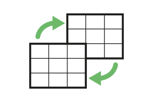
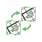
IQGeo ETLs führen bei jeder Synchronisierung einen Export der vollständigen Features durch und wenden optimierte Logik und Algorithmen an, um die Datenänderungen seit der letzten Synchronisierung zu bestimmen.
IQGeo ETLs unterstützen mehrere Methoden für das Rendern von Kacheln, und es werden nur die spezifischen Kacheln erneut generiert, die als „geändert“ identifiziert wurden.
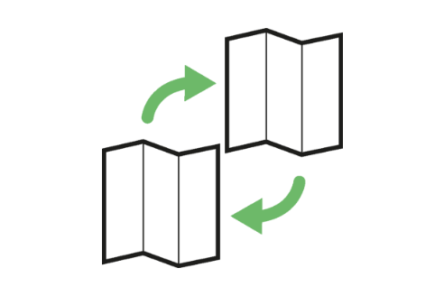
ETL-Komponenten und Architekturen mit mehreren Threads können mithilfe von Konfigurationen, die die Leistung von Mehrkernhardware und -prozessoren maximieren, gestapelt und bereitgestellt werden.
Bei der direkten Ermittlung von Feature- und Kacheländerungen werden optimierte Datenverarbeitungsalgorithmen verwendet, die eine nahtlose und effiziente Datenverwaltung selbst bei sehr großen Datenbanken sicherstellt.
Die ETLs replizieren Quell-GIS-Datenmodelle automatisch, sodass Karten innerhalb der IQGeo-Plattform in genau derselben Darstellung wie in der Quelldatenbank angezeigt werden. IQGeo ETL for ArcGIS ist sowohl mit dem geometrischen Modell von Esri als auch mit dem EUN-Modell (Esri Utility Network), einschließlich der gesamten Konnektivität, kompatibel. IQGeo ETL for Smallworld ist mit den Gas- und Telekommunikationsmodellen von Smallworld Electric, einschließlich aller benutzerdefinierten Datenmodelle, kompatibel.
Mit den ETLs von IQGeo können Sie die Investition in Ihr GIS-System optimal nutzen und dabei mit der Bereitstellung einer IQGeo Plattform gleichzeitig für einen wesentlichen Mehrwert sorgen. Die benutzerfreundliche IQGeo Platform ermöglicht Datenzugriff und raumbezogene Netzwerktransparenz in Ihrem Unternehmen. So können Sie sehen, wann und wo Ihre Mitarbeiter im Büro, im Außendienst, online oder offline auf jedem Gerät (iOS, Android, Windows) arbeiten.
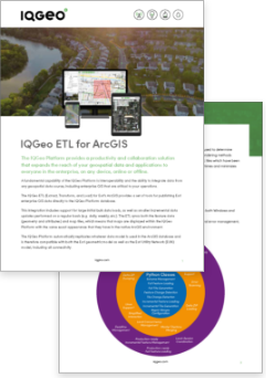
To find out more download the product sheet on IQGeo ETL for ArcGIS.
Download now
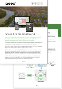
To find out more download the product sheet on IQGeo ETL for Smallworld.
Download nowDownload the white paper to learn more about the benefits of integrating IQGeo and Smallworld.
Download nowMit über 50.000 aktiven Softwarebenutzern verfügt IQGeo über einen etablierten und schnell wachsenden Kundenstamm mit Telekommunikations- und Versorgungsunternehmen weltweit. Hören Sie direkt von unseren Kunden, wie IQGeo ihnen hilft, die Produktivität und Zusammenarbeit in ihren Unternehmen zu beschleunigen.
Jeffrey Cito, Project Manager Operations - ECMC
IQGeo has the agility that we were looking for as well as the leadership in this space and I think those two factors sealed the deal for us. We knew that we would be in good hands.
The IQGeo team immediately understood our challenges and delivered a presentation and Proof of Concept that addressed our biggest concerns. We continue to be impressed by both the team and the software, which has exceeded our initial expectations. Offline support, validating designs and version control were causing us major headaches. Thanks to IQGeo, these are now problems of the past!
We are pleased to be working with IQGeo and are already very impressed with the capabilities of the IQGeo Platform.
IQGeo gives us a simple tool to assist with network planning and auditing that is easy-to-use in the field. Over the 40 plus years that I have spent in the field, I have never found a solution that can do this, not until I found IQGeo.
It’s a real pleasure working with the team at IQGeo who exceed expectations in everything that they deliver to us. They work closely with us to understand potential application development whether it be for wires down response, meter reading or collection activity in the future. As a utility, the ability to have communications with an organization that listens and develops and tests with you is amazing.
We’ve been very impressed with IQGeo, the team has worked incredibly quickly and been able to cater for our specific business and technical requirements.
IQGeo Inspection & Survey makes it lightning fast to create a survey definition and push out to a survey tech in the field. I am excited about our continued partnership.
The advantages of putting powerful, but easy-to-use Inventory Maps into the hands of the right staff are tremendous.
When you first see the IQGeo Platform it’s a real eye opener. It’s modern looking and easy-to-use with a simple user interface, unlike any other geospatial system. As an electric cooperative, we’re committed to technology advancements that improve service for our members, safety, system reliability and employee relations. IQGeo helps us to tick a lot of these customer satisfaction boxes.
Unlike legacy GIS that use a centralized, process-heavy architecture dependent on highly specialized engineering resources, IQGeo empowers field and office staff to easily monitor, capture, visualize and manage geospatial network assets without specialized training. We deliver an end-to-end solution with measurable ROI that increases productivity and collaboration across the entire organization.
Did you know that an automated fiber planning process can reduce your design times by up to 90% and integrating construction workflows can save up to 10% on your build costs? Watch the webinar to learn more about the benefits of an integrated planning, design, and construction process.
Watch nowCopyright © 2022, IQGeo UK Limited. IQGeo is a registered ® trademark