

Brightspeed
"Meeting fiber deployment KPI's"
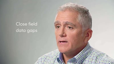
Craig Krammes, Director for IT Engineering Systems

Bulk data loads
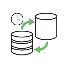
Scheduled sync processes
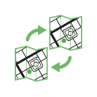
Automatic data model translation
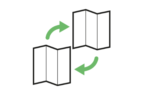
IQGeo ETLs perform a full feature export with each sync and apply optimized logic and algorithms to determine the data changes since the previous sync.
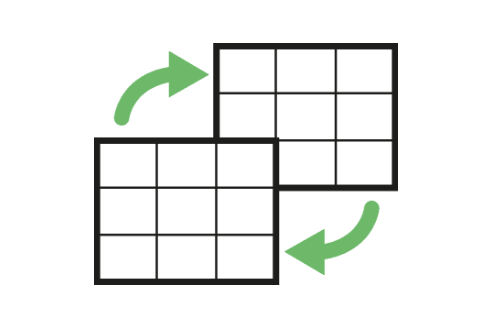
IQGeo ETLs supports multiple tile rendering methods and only those specific tiles which have been identified as “changed” are regenerated.

ETL components and multi-threaded architecture can be stacked and deployed using configurations that maximize the performance of multi-core hardware and processing.

Direct feature and tile change detection use optimized data processing algorithms that ensure smooth and efficient data management for even the largest databases.

Craig Krammes, Director for IT Engineering Systems

Hideaki Miyamoto, Manager - System Management Group

Ryan Moody, Fibre Planning Optimization

Jim Downing, CIO
Jeffrey Cito, Project Manager Operations - ECMC
Telecommunications and utility network operators, watch more videos
The industry's most flexible and comprehensive geospatial solution to accelerate network planning, design and time to revenue from a single platform.
See it in action!

