
Safety is the most important priority for any gas network operator, so efficient and effective inspection and maintenance processes are critical. IQGeo’s geospatial software helps operators meet their vital safety targets by improving collaboration with a single, shared view of network data across their lifecycle. With the leading mobile field solution, field crews can make real-time updates, online or offline, during the leak survey process.
As gas utility operators know, trying to track equipment assets via paper maps and manual notes is both expensive and inefficient. Many gas utilities also struggle with keeping their network data accurate and complete. These problems are exacerbated when they need to file reports with regulatory commissions. With IQGeo inspection and maintenance applications, gas utilities can consistently provide the right information for regulatory compliance and maximize workflow productivity across teams to support safe and reliable network service.
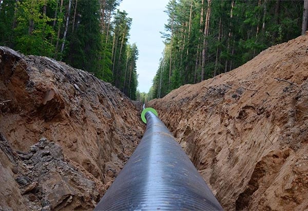
IQGeo Network Manager Gas is the industry’s most flexible and comprehensive geospatial solution to plan, design and respond to evolving safety and regulatory requirements from a single platform.





Plan, design, build and operate intelligent telecom, fiber and utility networks with IQGeo’s AI-powered geospatial software.
See it in action!







