



Industry-first capability keeps network records synchronized with field reality to support autonomous operations.
Cambridge, 9 July 2026 — IQGeo, a developer of AI-powered geospatial software that is paving the way for autonomous networks, today announced a new capability that automatically detects errors in telecom network records during field operations. The industry first marks a foundational step toward the accurate, continuously updated network data that autonomous network operations require.
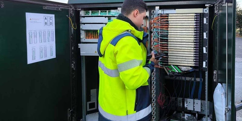
When engineers build or repair network infrastructure, the physical work rarely matches the original design exactly. Engineers may need to make slight variations, like changing routes, substituting equipment or changing connections. These variations are normal, but they lead network records to gradually drift out of sync with reality. Most telecom operators currently reconcile these differences manually, a slow and error-prone process that leaves operational decisions, from planning future investment to diagnosing faults, increasingly dependent on data that no longer reflects the network as it exists in the real world.
IQGeo's new capability closes that gap automatically. When a field engineer completes a job, the results are captured through IQGeo's visual AI application and compared against the original design. Any differences are immediately flagged, classified and routed to back-office teams for review, with follow-up work orders created where corrective action is needed.
"Most operators have accepted record inaccuracy as a cost of doing business and built workarounds on top of it," said James Wheatley, Head of Product at IQGeo. "The problem is that every difference that goes undetected compounds. Planners make decisions based on data that doesn't match reality on the ground, and when the error is discovered, the impact is far larger than the original error. Resolving the differences at the point of field execution is a fundamentally different approach to data quality than cleaning up afterwards."
The capability is of particular significance as IQGeo's customers, including Virgin Media o2, Openreach and Brightspeed, advance toward autonomous network operations. Networks capable of self-management are only as reliable as the data that drives them, and automated error resolution ensures that data accurately reflects physical infrastructure from the moment construction is completed.
Contact
Annabel Niemann, Communications Director
press@iqgeo.com
About IQGeo
IQGeo is redefining how ambitious network operators plan, design, construct, operate and monetize their physical infrastructure. Guided by our mission of “Building Better Networks,” we deliver AI-powered geospatial software purpose-built for telecom and utility businesses that enables them to create accurate, live digital twins that form the foundation for agent-driven, self-managing networks. With native mobility at its core, our software transforms network data from across field and office into operational insight, cutting design and construction costs, improving process efficiency and enhancing safety and compliance. IQGeo’s solutions go beyond static maps to intelligent network models that power real-time decision-making.






