Most people underestimate how hard it is to build a software application that is simple for people to use. This is especially true when dealing with underlying data or concepts that are complex, as is the case with geospatial applications for infrastructure companies. It takes significantly more effort to build software that is truly easy to use.
Who is the target user?
It is important to note that in order to build an easy-to-use application, you have to actually want to do this. A problem that the traditional GIS companies face is that their core audience are “GIS professionals”. They are highly technical users who demand complex functionality and lots of options. These users expect their software to be complex to use, it’s just what they’re used to, and it also represents job security!
While traditional GIS companies may sometimes talk about “GIS for all”, in general their answer to this is to say that you can develop your own “simple” applications using their development tools. However, as mentioned above it is a very substantial effort to do this well.
In contrast, at IQGeo our aim from the outset has been to develop applications that are usable by anyone, out of the box. We have always taken inspiration from Google Maps, and it continues to be our aim that our enterprise applications should have the usability and performance of Google Maps. We have continued to maintain the focus on simplicity and usability as we have added more advanced capabilities in our product over time.
Usability in the field
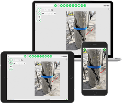
Usability is especially critical for field workers. Field workers need to be focused on the job at hand, and in general they tend to not be tolerant of applications that are not easy-to-use. We have extensive experience in designing apps for field users and have excellent adoption of our applications in many large field roll outs. There are some special considerations in designing apps that work well for touch screen devices that also work well on phones, which have less screen real estate. The IQGeo platform has an adaptive user interface that works on tablets, laptops and phones with a consistent experience across all form factors.
Self-service
A term that we hear more and more from our customers is the idea of a “self-service” approach for their users to access the data that they need for a specific business purpose. One of our customers studied where their engineers spend most of their time. They found that 39% of it went on answering questions from internal staff, about items like where certain assets were or how a given customer was connected. By implementing the IQGeo Platform, they were able to switch to a self-service approach where users could answer the great majority of these questions themselves. The result was that their questions were answered more quickly, and a substantial amount of engineering time was freed up for more valuable tasks.
Increasingly infrastructure companies are also looking to extend the “self-service” idea outside their organization. One example is implementing an application that their customers can use directly to get an estimate for the cost of a new service connection, rather than having to talk to a customer service representative. Again, this can give the customer a faster answer as well as freeing up internal resource. One of the key ideas that Amazon had early on with its online retail business was to make a lot of data that had previously only been available to internal staff directly available to their customers, and this idea can really improve the customer experience.
Improving work with contractors
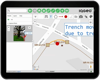
Many electric, gas, and telecom infrastructure companies use contractors for construction work, and usually these contractors deliver back to them “as-built” drawings of the work that they’ve done. Usually the contractors have their own software system for these drawings, and often draw the as-builts following their own standards that don’t match those of the infrastructure company they are working for. In a surprising number of cases, this as-built data needs to be re-drafted manually back in the infrastructure company’s GIS. This involves substantial effort (and cost), and results in their system of record being significantly out of date.
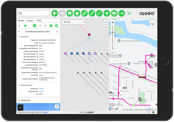
IQGeo products enable editing of complex network data in a way that is hugely simpler to learn and use than traditional GIS and CAD systems. It can run in any web browser, requiring no software installation, or on any mobile device. This makes it practical for contractors to use the same system as the infrastructure company they are working for, which hugely streamlines the process of capturing accurate updates.
Responding to emergencies
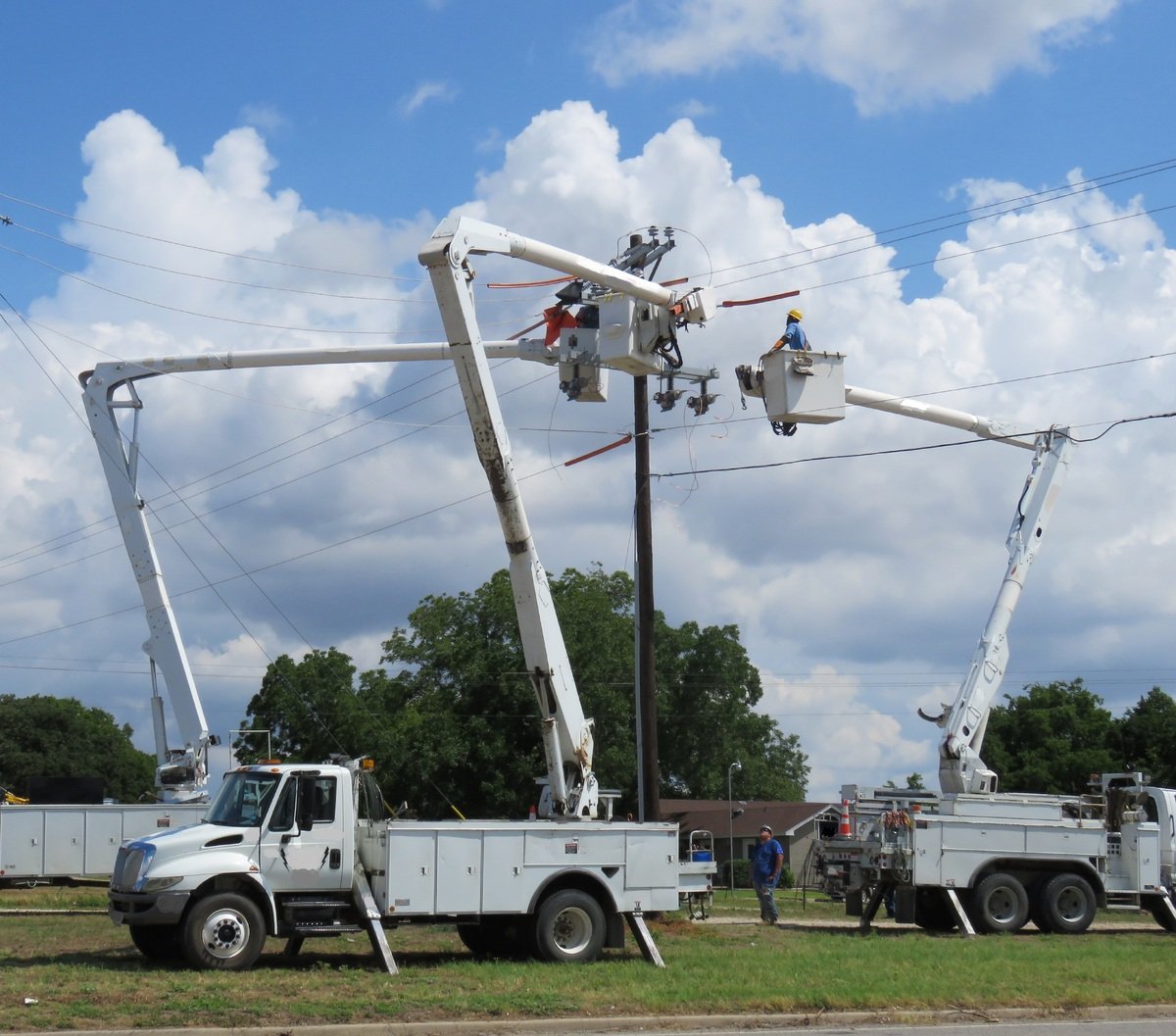
A specific situation where usability is particularly critical is emergency response. When an infrastructure company is responding to a major emergency like a hurricane, it is generally “all hands to the pumps” and many staff may be deployed in temporary roles to help. In this situation, having software that doesn’t need special training to use makes a huge difference. The IQGeo software routinely plays a key role during major emergencies at large utilities and telecommunications companies in both North America and Japan.
Summary - great usability is key to transforming your organization
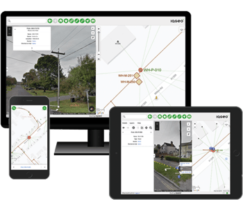
Many key business processes in telecom and utility companies depend on access to accurate and up-to-date geospatial data about network assets. Providing your staff with self-service data access, where and when they need it, transforms the way your organization works. It improves productivity and collaboration, accelerates restoration times, and enhances customer service. Usability is critical to achieving this transformation. Without it, access to critical information often requires the involvement of technical specialists, which creates significant process bottlenecks and data gaps.
Usability can’t be an afterthought. It must be a foundational part of the system design. The IQGeo platform has a proven track record of excellent user adoption in our customers. After a recent system rollout, comments we got back from end users included:
“I’ve been here for multiple decades and this is the best thing I’ve ever seen rolled out”
“Who designed this? It’s awesome! Can they design all our products?”
Hear directly from our telecommunications and utility customers about how IQGeo is helping them to accelerate productivity and collaboration across their business.
We would love to talk to you about your operational challenges and how our award-winning software can help you transform the way that your organization works.

Former Chief Architect at IQGeo


 Previous


